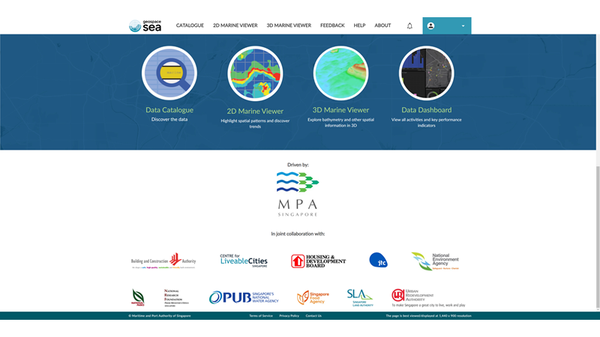
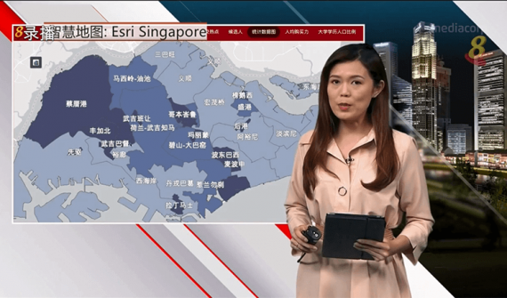
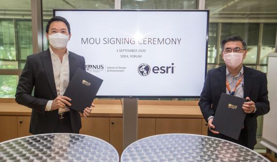
Charting the course towards a data-driven maritime industry

In an act of foresight, the Maritime and Port Authority of Singapore (MPA) officially announced GeoSpace-Sea in 2019, that sees a collaboration with 11 other government agencies and institutes of higher learning. It is an initiative designed to help answer current and new challenges in our sea-space – pandemic or otherwise.

GeoSpace-Sea is currently being populated with hydrographic data, coastal data, habitat data, and marine environment data such as coastline details.

But do not be mistaken:

MPA and Esri Singapore take Singapore’s marine landscape to new depths

In continuing efforts towards a sustainable marine space for Singapore, GeoSpace-Sea will provide comprehensive and consolidated geospatial data for port, marine, and coastal planning, as well as environmental management.

Developed together with Esri Singapore’s professional services team, the initiative will be developed in phases. Powered by ArcGIS Enterprise, it comprises a mix of GIS components such as Portal for ArcGIS and the Geoportal server. These are brought together through ArcGIS Hub

New GeoBIM course lays the groundwork for digital construction

New technologies such as 3D printing, drones, smart materials and more have flooded the industry, and recent development calls for the integration of Geographic Information System (GIS) and Building Information Modelling (BIM).

To advance the knowledge of GeoBIM in local professionals, Esri Singapore will be launching an introductory GeoBIM Application and Technology Certification Programme in partnership with BIMAGE Consulting, a leading technology firm in BIM and Virtual Design and Constructi

GIS lessons learned during the COVID-19 pandemic

The introduction and enforcement of the Movement Control Order (MCO) was an important step to fight the outbreak, and with great success too. We also saw how Geographic Information Systems (GIS) technology was used extensively to support these efforts.

On the global scale, it showed how the virus was spreading across the world in real-time, and was also deployed for contact tracking and tracing. We quickly learned that the availability of data and information to all parties is crucial in battli

NUS-SDE signed MOU with Esri Singapore to expand research in geospatial analytics

Since its establishment in 1969, SDE remains the only faculty in a Singapore university that provides a comprehensive multi-disciplinary offering of teaching and research in architecture and landscape architecture, urban planning and design, project and facilities management, building performance and sustainability, real estate finance and economics, and industrial design.

Working together with Esri, the pioneer and global leader in Geographic Information System (GIS) technology, SDE aims to ex

An increased demand for geospatial education and professionals

New programmes to support Singapore in building a nation of spatial thinkers

Singapore has seen greater demand for geospatial education and professionals with the growing geospatial scene. As a result, there is a need to build a nation of spatial thinkers. In addition to the Singapore GeoSpatial Scholarship by Singapore Land Authority (SLA), Boustead Singapore and Esri have jointly launched the Boustead-Esri Geospatial Scholarship to provide the relevant educational platform, to cultivate the n

A winning plan to digitally transform the urban landscape

As part of the first virtual Esri User Conference this year – which had over 86,000 attendees from 180 countries – his plan’s core principles and concepts were illustrated and presented in a poster that was displayed in the event’s online map gallery.

A graduate from the NTU Asian School of the Environment with a BSc in Environmental Earth Systems Science, Zhen Hui’s project was centred on the 800ha of land that would be freed up following Paya Lebar Air Base’s relocation from the 2030s onward.

GE2020: Using a smart map to present insights and analysis

For the second general election in a row, all seats – of which there are 93 this time – in Singapore’s 31 constituencies are being contested. Campaigning is underway by the 191 candidates from 11 political parties and an independent candidate, all vying for support from the 2.65 million eligible voters.

To clearly and comprehensively present the vast statistics behind these figures to its viewers, Mediacorp’s Channel 8 and Channel U – Singapore’s leading channels for Chinese news and entertainment

SLA launches the 3D Singapore Sandbox

The Singapore Land Authority (SLA) announced the launch of 3D Singapore Sandbox, a first-of-its-kind collaborative environment for technology industry partners and developers. This initiative aims to encourage the use of 3D city models and geospatial data to develop and test new applications and services that can benefit both the public and private sectors.

The 3D Singapore Sandbox is open to industry partners who wish to leverage on 3D geospatial data to support better decision-making, and dev

Singapore is building a nation of young spatial thinkers

Two decades ago in Singapore, GIS was brought into secondary schools to help teach geography. But only a small number of teachers ended up actually adopting GIS to support their geography lessons. Since then, integration of GIS into school curriculum has been slow.

The Ministry of Education (MOE) in Singapore wanted to change that. So in early 2018, with help from Esri Singapore, the ministry’s Curriculum Planning and Development Division (CPDD) deployed MOE-EduGIS, a GIS platform that combines

NDP 2019 anticipates smooth traffic ahead with geospatial technology

Smooth ground operations are key for ensuring pleasant spectator experience and to minimise traffic congestion for the National Day Parade. Esri Singapore has been the Official Smart Mapping Partner of NDP for the third consecutive year.

The partnership started in 2017, when the organising committee first tapped on Esri Singapore’s geospatial analytic solutions to coordinate activities and manage incidents for the mega celebrations. Use of the platform extends beyond the actual day parade, as i
Load More